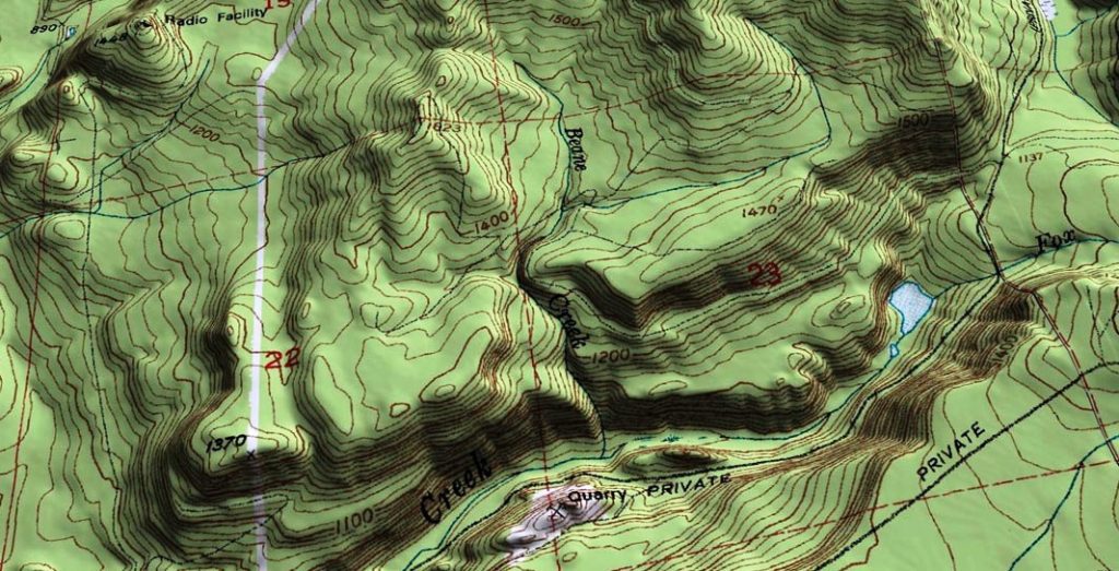
Aerial mapping and surveying using our UAV is cost effective, accurate and efficient way of generating mapping products.
SKT AeroShutter supplies high resolution, accurate aerial services to professional such as land surveyors, engineers, farmers, quantity surveyors and developers in the Construction, Utilities, Oil and Gas, and Agriculture industries.
Clients are realizing the power of an aerial perspective and the associated data collected. Such an efficient retrieval of “big data” is fast understood as a snapshot in time that can be used for a wide variety of measurements and reporting functions. This is all done at an affordable, efficient, safe and accurate manner.
IN THE ERA OF BIG DATA, DRONES ARE ABLE TO HELP FARMERS AND BUSINESS OWNERS, PRECISION, IN MAPPING & SURVEYING


119 Westlands Blvd
Westlands
Accra
+233 302 947 960
+233 558 799 251
71 allee Jean Jaures
31000 Toulouse
+33 6 02 05 60 25
Saly Velingara
Mbour
+221 77 142 22 51
Transistorstraat 7
1322 CJ Almere
+31 85 822 82 31
Zone 4, rue Pierre et Marie Curie
Abidjan Marcory
+225 07 88 97 35 73